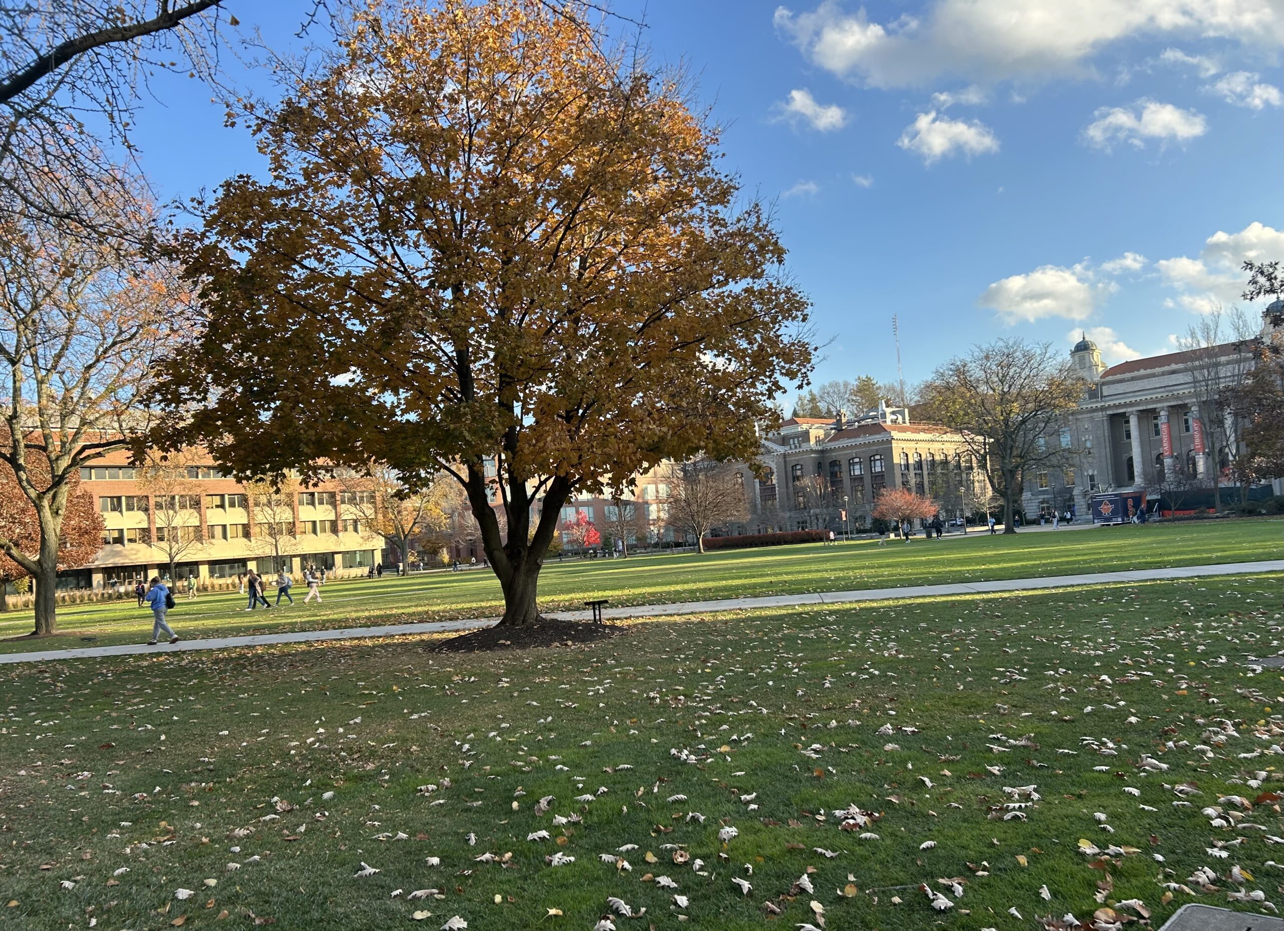
At the tail end of November, Central New York continues to experience cooler temperatures in the mid-50s and no snow accumulation. © 2024 Helaina Stovin
AUDIO TRANSCRIPT: Central New York residents can expect another winter with less snow than usual
Daniel Papillo: As the leaves begin to fall off the final trees, it is reasonable to wonder what winter will look like in Central New York. NCC News’ Helaina Stovin reports that we might not see much of a winter wonderland this year.
Helaina Stovin: Central New York can expect less than 100 inches of snow this year, similar to the last five winters. CNY Central meteorologist Josh Kozlowski says the speed of recent storms is affecting the accumulation.
Josh Kozlowski: We haven’t had a lot of storms slow down. They all seem to kind of just go over us and shoot off to the east right? Because there’s nothing blocking the traffic and as it moves along fast, it really doesn’t have time to pull out any cold air, therefore there’s no time for the storm to get strengthened and generate snow or lake effect.
Stovin: Kozlowski acknowledges that we will receive less snowfall, but he says residents should still still brace for a Central New York winter just like they would any other.
Kozlowski: We will get cold we will get snow. It’s just a matter of how often. So I think it’s not to say you shouldn’t worry. It’s not to say you shouldn’t pay for a plow service, or prepare, or get salt, or get your snow blower gassed up.
Stovin: While decades of research are needed to say climate change is happening, there is reason to keep an eye on this trend as it could become crucial information in the future. Helaina Stovin, NCC News.
SYRACUSE, N.Y. (NCC News) — With the fall season coming to an end, that means winter is right around the corner, but more importantly, that means snow is right around the corner.
For many Central New York residents, the winter season requires extensive preparation for the amount of snow they expect to get. However, in the last five winters, Central New York has received less than 100 inches of snow. To put that in comparison, the average amount of snowfall in Syracuse was 162.72 inches from 2009-2019.
Central New York is expected to receive another winter season with less than 100 inches of snow. CNY Central meteorologist Josh Kozlowski said this more recent trend is partially due to the increase in the speed that these storms pass through the East Coast.
“We haven’t had a lot of storms slow down,” he said. “They all seem to kind of just go over us and shoot off to the east right? Because there’s nothing blocking the traffic and as it moves along fast, it really doesn’t have time to pull out any cold air. Therefore, there’s no time for the storm to get strengthened and generate snow or lake effect.”
This recent trend has continued largely due to three factors: An increase in solar output and activity, an increase in ice and snow cover in the northern pole areas, and a weak or neutral North Atlantic Oscillation.
The solar output or solar activity means that the waves coming from the sun have been increasing, heating the oceans and the planet, and is currently at a 25-year maximum. However, the increase in ice and snow cover in the northern pole areas directly contradict each other, which does not necessarily provide reasons to believe that snow accumulation will trend up or down in the future years.
Finally, the North Atlantic Oscillation is a weather pattern where the difference in air pressure between two areas over the North Atlantic Ocean changes, affecting weather in Europe and North America, like making winters milder or colder.
If the numbers extracted from the NAO are positive, the storm traffic is traveling at high speeds, which does not allow for a storm become stronger and therefore provides less snow. If the numbers extracted are negative, that is when storms slow down, providing them more time to gather strength and become a winter that most Central New York residents expect.
Currently the NAO in Syracuse is weak or near zero. Kozlowski said that this specific set of data shown in late October and November answers questions regarding the upcoming winter season.
“I looked back at the last 75 years of winter in Syracuse, and every single fall, October and November, that have had weak North Atlantic Oscillations, 65% of the time after a weak NAO in the fall have led to below average snowfall,” Kozlowski said.
While much of the data gathered so far suggests that Central New York residents will likely receive a “less-than-average” amount of snowfall, Kozlowski urges residents to not take this data as a reason not to adequately prepare themselves for a “regular” type of winter.
“We will get cold. We will get snow. It’s just a matter of how often,” he said. “So I think it’s not to say you shouldn’t worry. It’s not to say you shouldn’t pay for a plow service, or prepare, or get salt, or get your snow blower gassed up. It’s not to be ignorant at all, please do what you normally do.”
While it will take decades of research to determine if upcoming winters like these will fall into the bigger climate change picture around the nation, it does give reason to pay attention to this winter and the winters to come. There could be crucial information found right beneath our snow shovels.